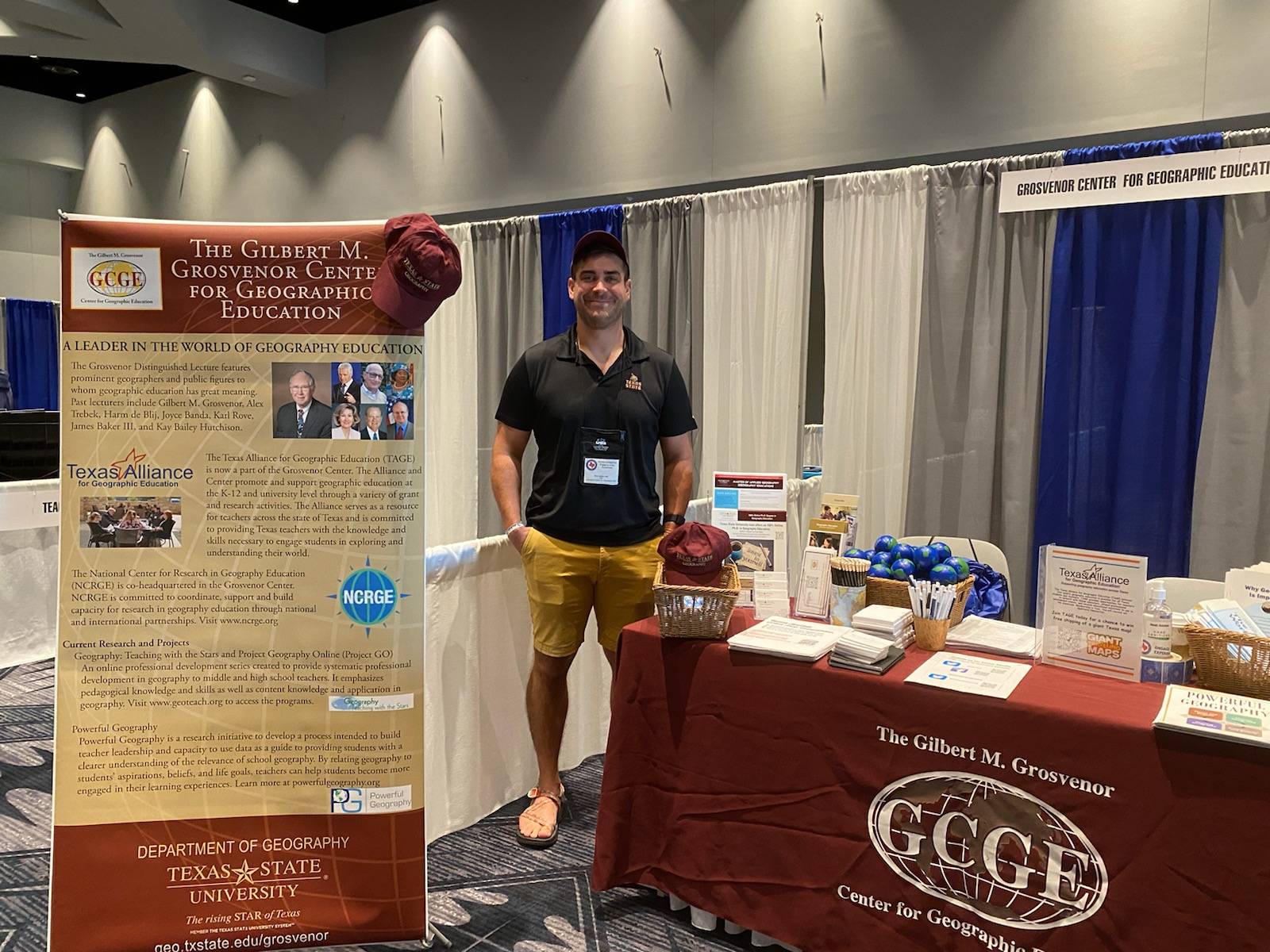
The Gilbert M. Grosvenor Center for Geographic Education
Check out what's going on at the Grosvenor Center for Geographic Education

100% Online Ph.D. in Geographic Education NOW AVAILABLE
APPLY NOW!
Affiliated Organizations
The Grosvenor Center is home to the Texas Alliance for Geographic Education
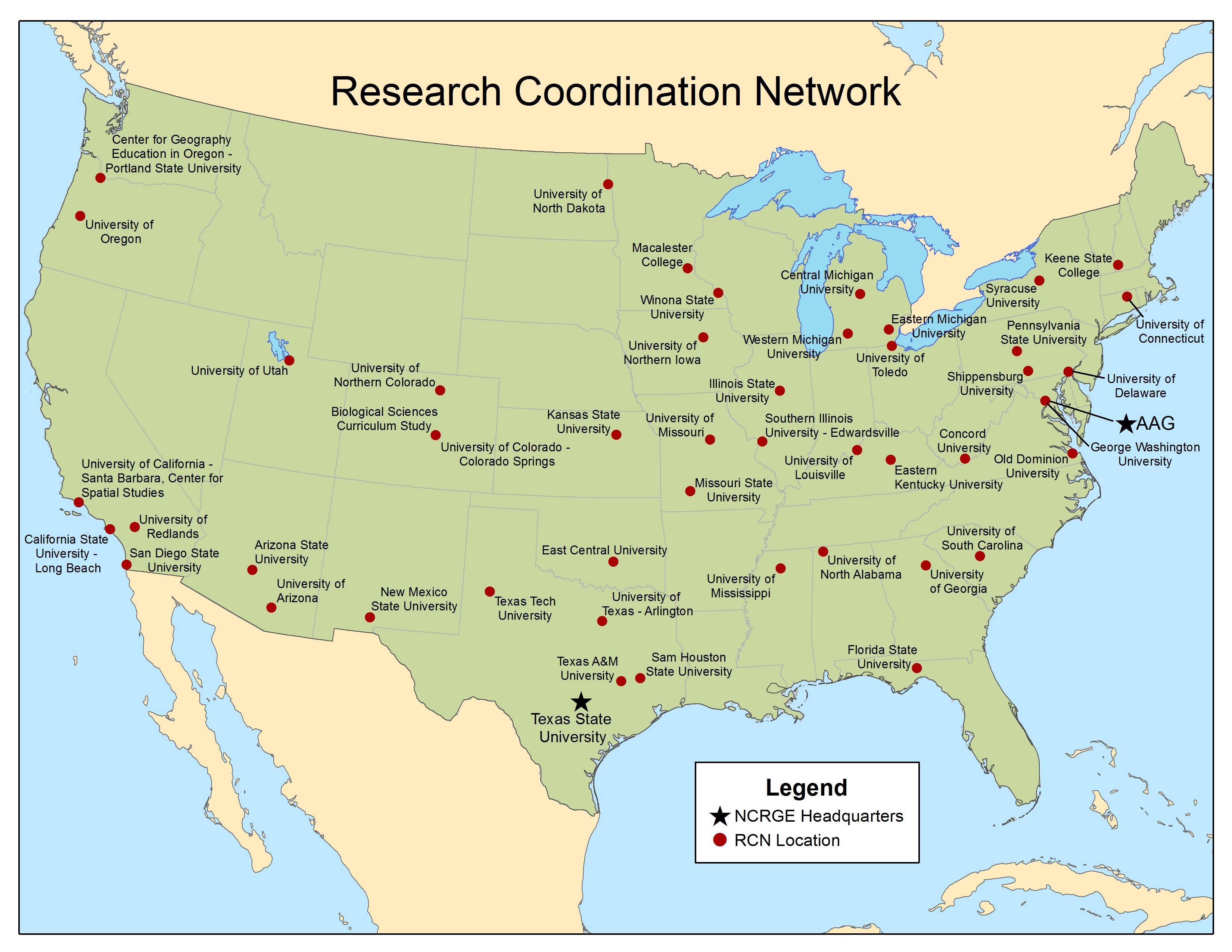
and is co-headquarters of the National Center for Research in Geography Education.
Click below to learn more about each organization.
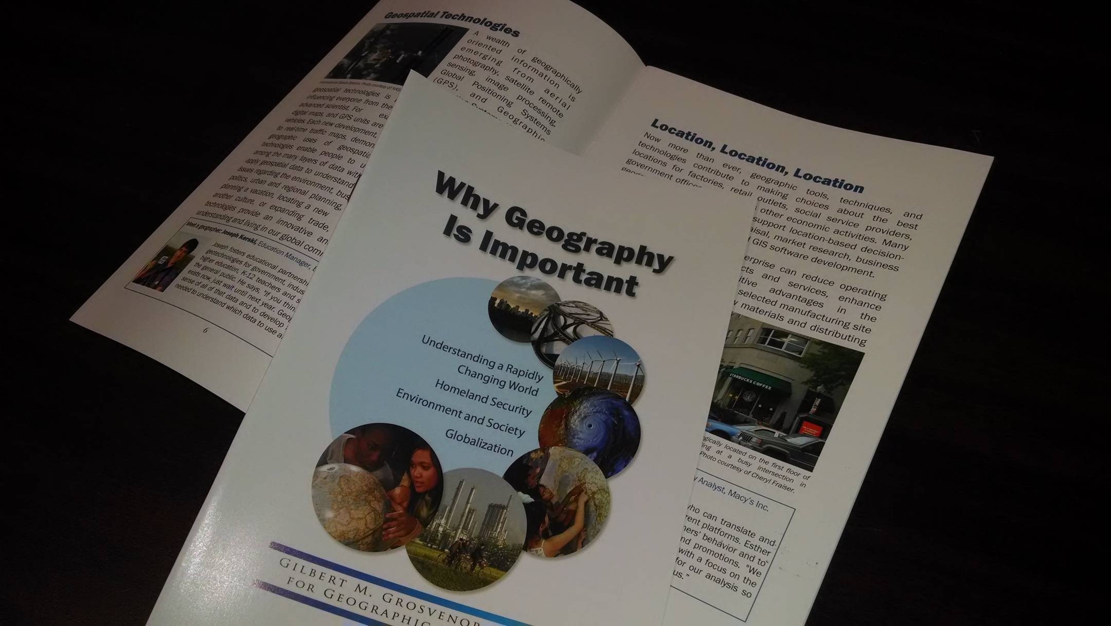
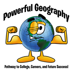
Powerful Geography - Learn about our new transformative curricular approach
Powerful Geography in a Nutshell
Powerful Geography and Teachers
Powerful Geography for Stakeholders
Powerful Geography in Higher Education
Powerful Geography and Research
Looking Ahead
Upcoming Events
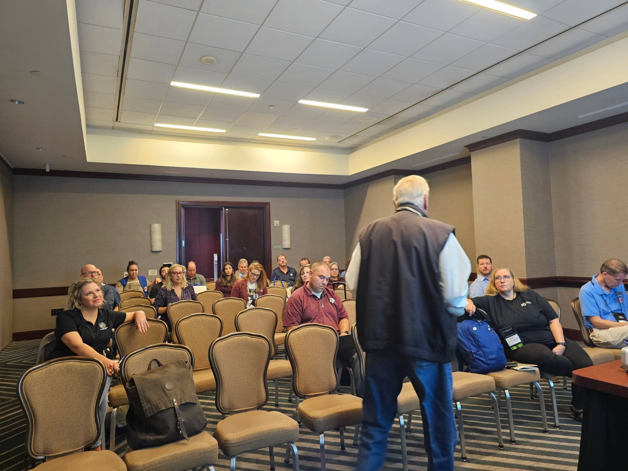
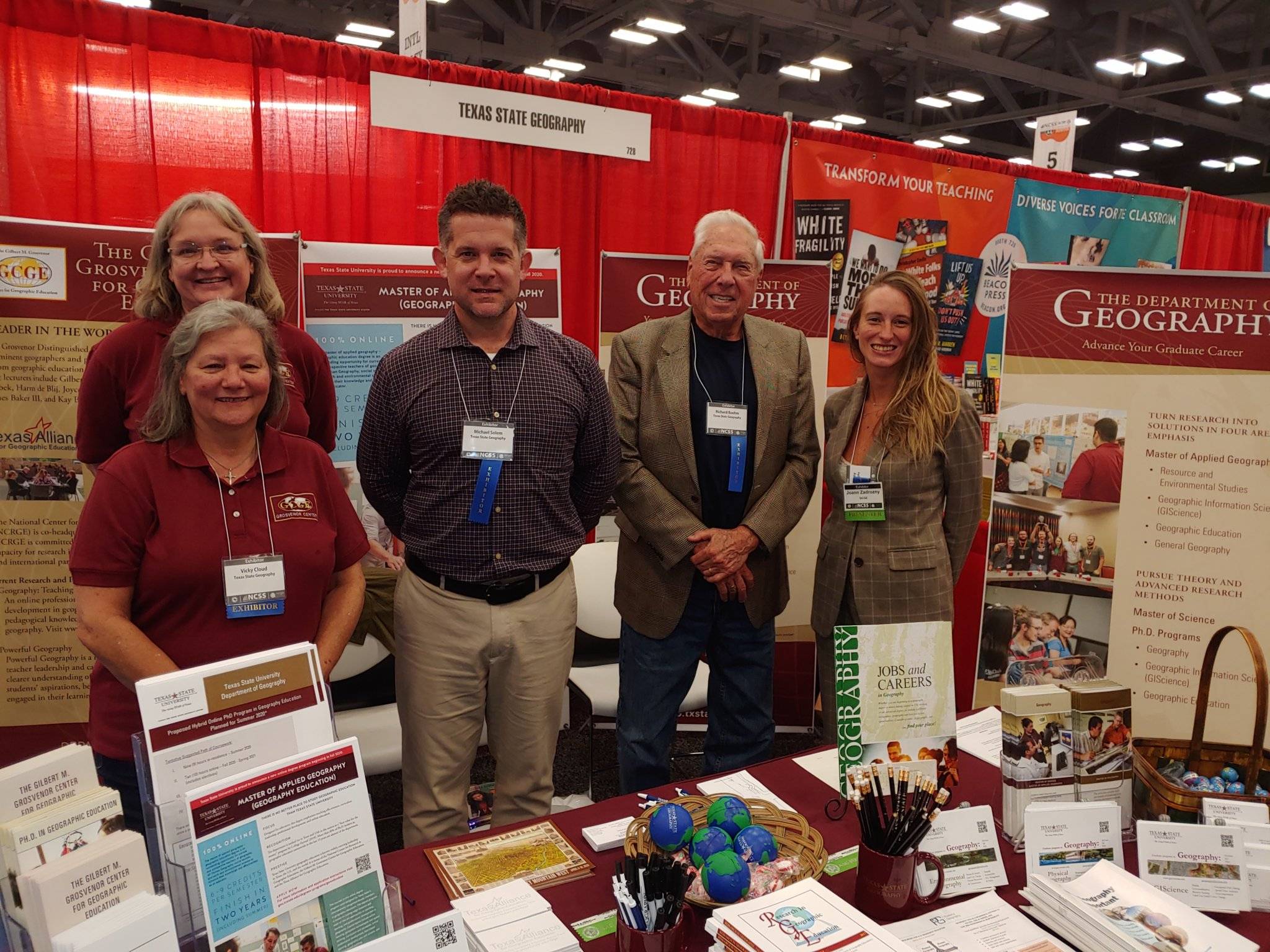
- Join us in Round Rock for the Texas Council for the Social Studies Conference, held in October 2024.
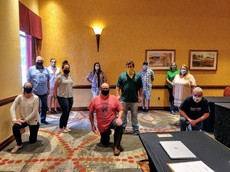
Past Events
Take a look back at the highlights from 2021 - 2023
Past Events of 2023
- Dr. Zadrozny shared a new Powerful Geography resource at the National Council for the Social Studies Annual Conference in Nashville, Tennessee. This resource can be viewed here.
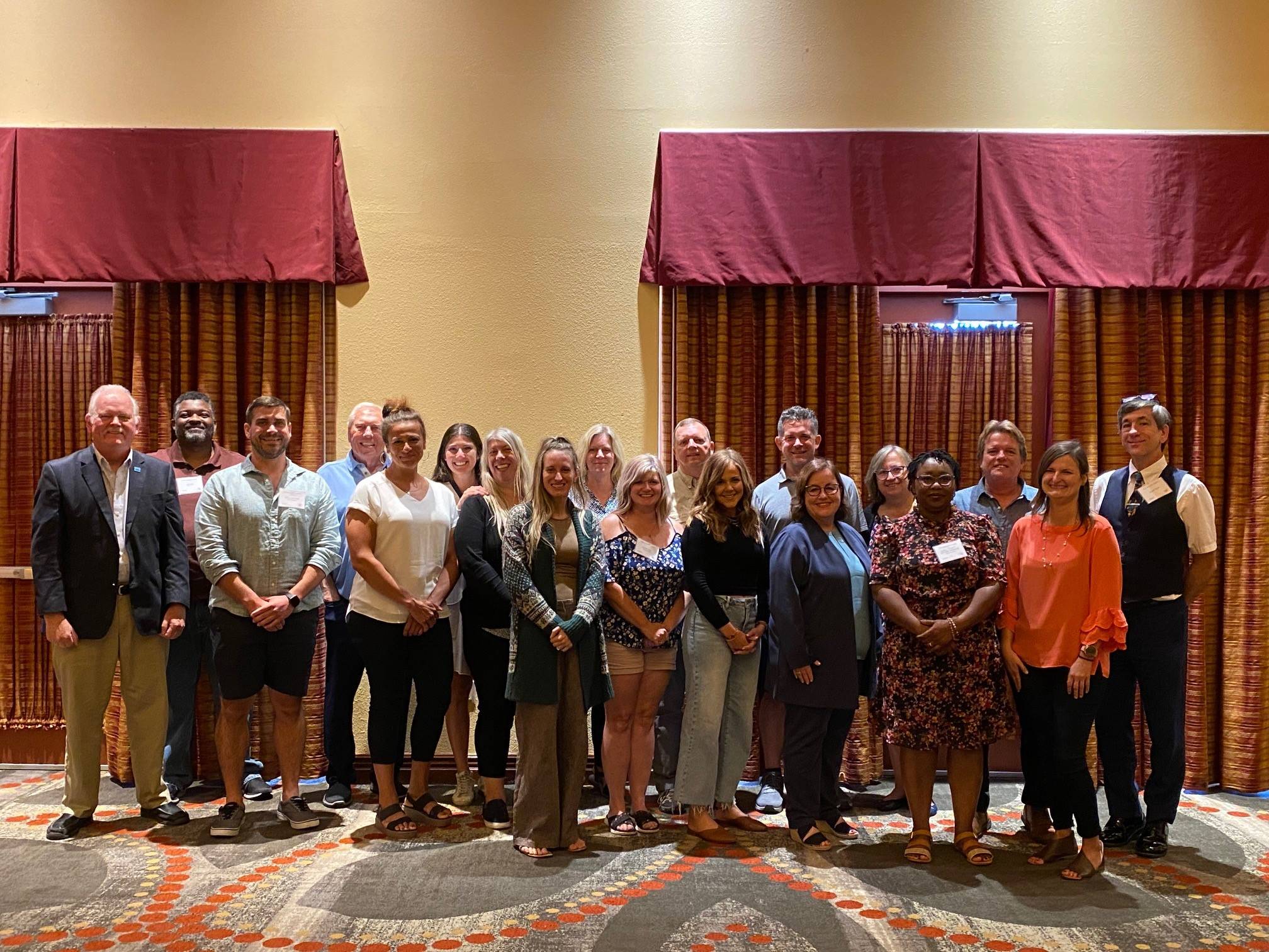
- We were in Houston for the Texas Council for the Social Studies Conference, held on October 27 - 29, 2023.Dr. Boehm gave the Presidential Address titled “Powerful Geography: Essential Knowledge and Skills for Texas Students”.
- In response to a recent call issued by the National Center for Research in Geography Education, an educator network has been organized to support state-based collaborations as part of the Powerful Geography movement. The network currently includes geography teachers and academic geographers in nine states, including those with active Geographic Alliances (organizations that were once funded by the National Geographic Society to support geography education and teacher professional development).
Members of the Powerful Geography network met at workshops held over two weekends in September 2023 to initiate the creation of geography educational resources that raise awareness and appreciation among learners of the relevance and usefulness of geography for what they aspire to be and do in the future.
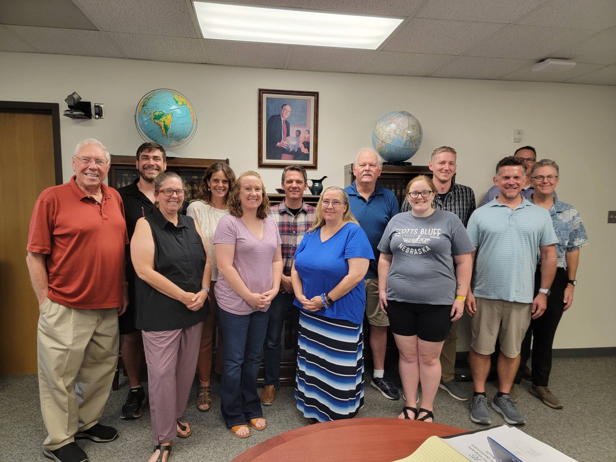
- In July we held the second Leadership Academy bringing together the online PhD geography education students with other professionals from the field. Split into three groups, they worked on writing papers focused on different aspects of Powerful Geography. They included: (1) Powerful Geography: Aligning Student Aspirations and Applied Geography in K-12 Curriculum; (2) Powerful Geography: The Role of Teacher Education (Pre- and In-Service Training and Certifications); and, (3) Powerful Geography: The Role of Geography Organizations
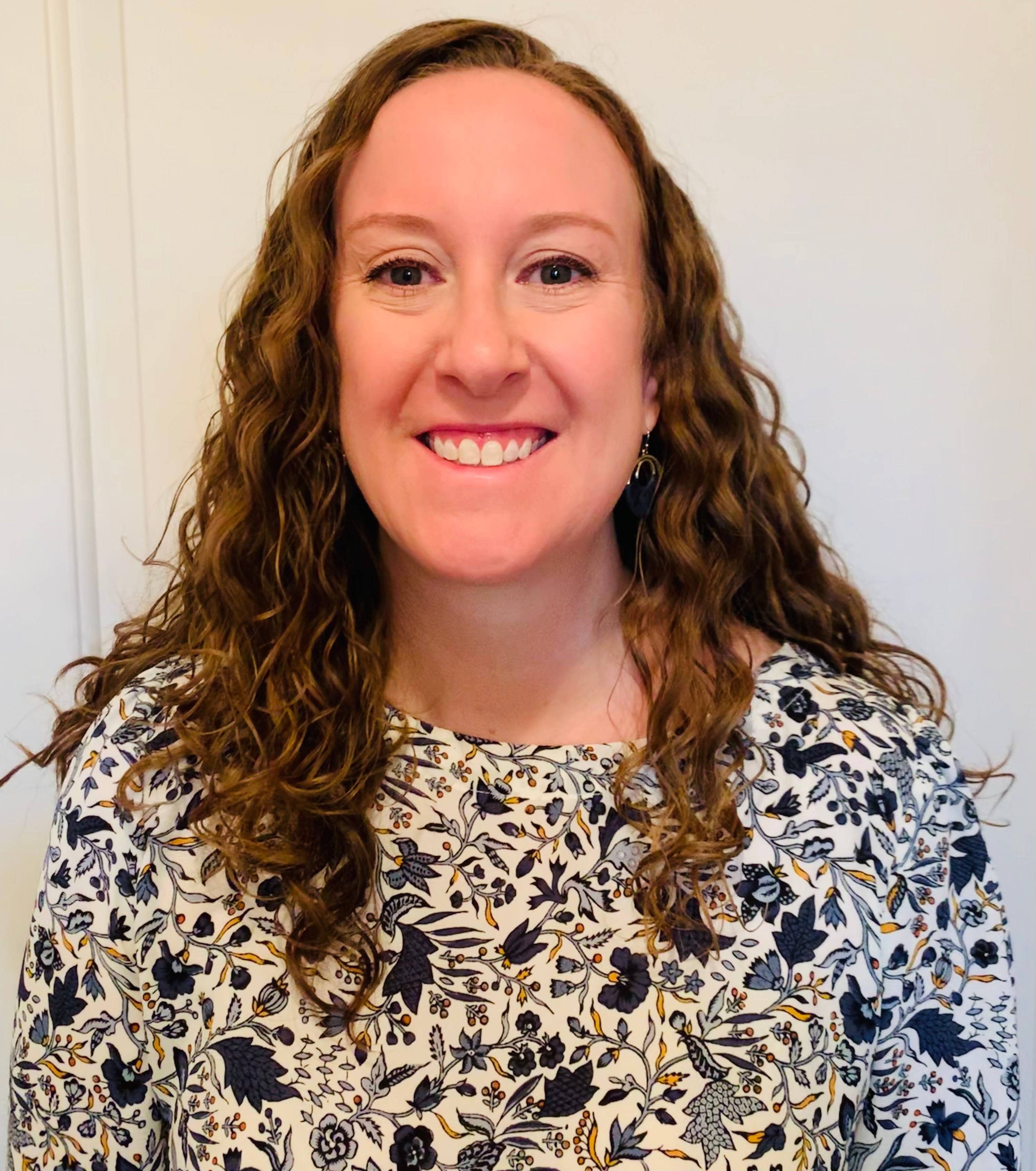
- The Val Wilkie Jr. Award for Excellence in Teaching Geography was awarded to Michelle Crane for 2023. She teaches geography and government at Texas High School in Texarkana, Texas. She is currently working on her PhD at Texas State University with her dissertation focused on Powerful Geography.

- The word of Powerful Geography is being spread through professional development workshops being held at Education Service Center 13 (Austin) in March and Education Service Center 12 (Waco) in April. Thank you for Melissa Solis and Jessica Torres (the social studies coordinators, respectively) for having us to share with the geography teachers in each region.
- March was our return to in-person meetings for the American Association of Geographers. Dr. Solem and Dr. Zadrozny presented on the latest research on Powerful Geography sharing the results of the last few years of research and progress.
Past Events of 2022
- Dr. Zadrozny provided a professional development workshop at Education Service Center Region 1 on December 6, on Project GO and Powerful Geography! It was a great turn out from teachers all along the southern border of Texas!
- October 2022 - Dr. Zadrozny and Stacie Aguirre were at the Texas Council for the Social Studies Conference in Denton, October 14-16. The booth was a hit and our session on Powerful Geography was packed! See you all next year in Houston!
- Professional Development Workshop Galore - Dr. Zadrozny has been busy providing professional development workshops to teachers across the state of Texas sharing the Powerful Geography approach. Workshops include Waxahacie ISD (March), Education Service Center Region 10 and 11 - Richardson and Fort Worth (May), Education Service Center Region 9 - Wichita Falls (July), and Aledo ISD (July).
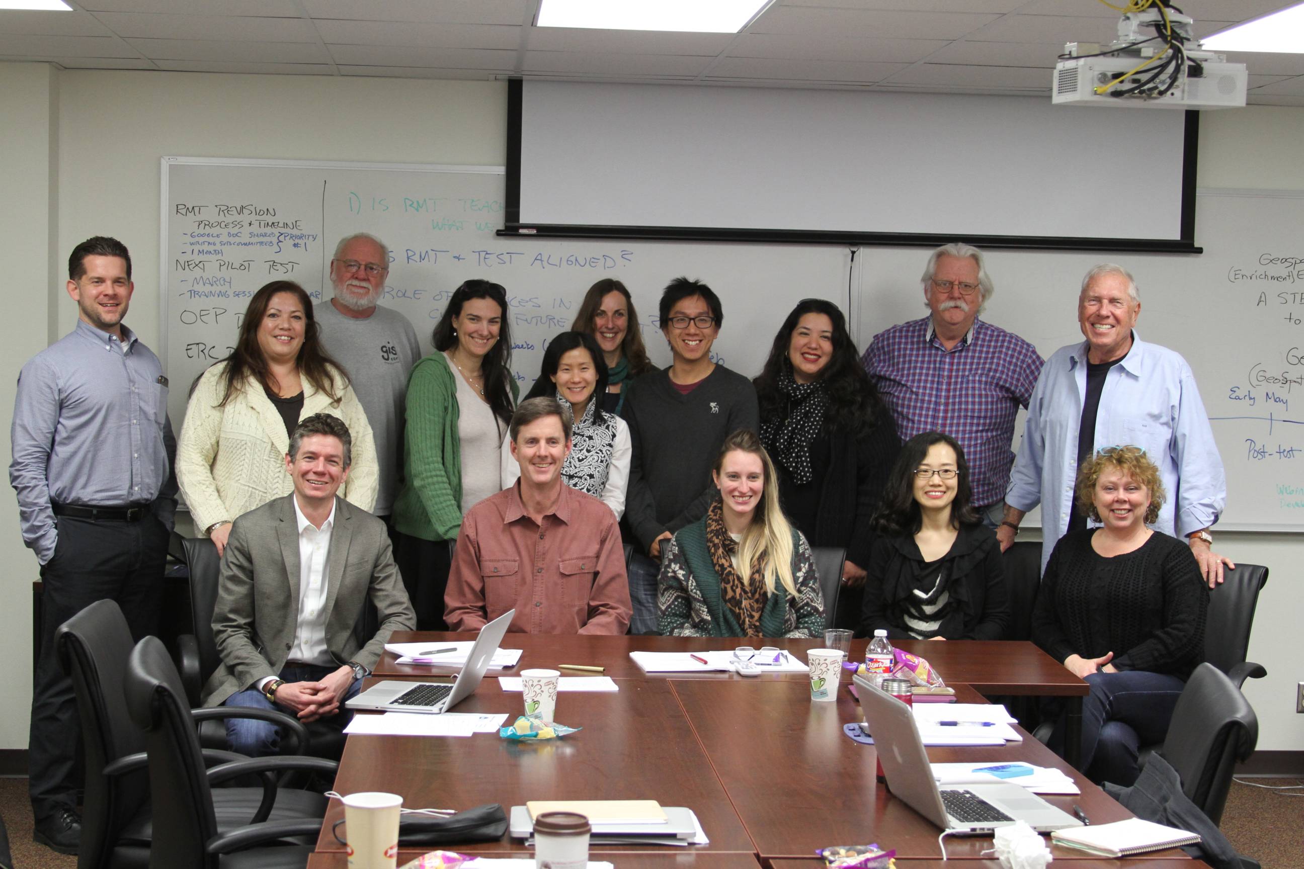
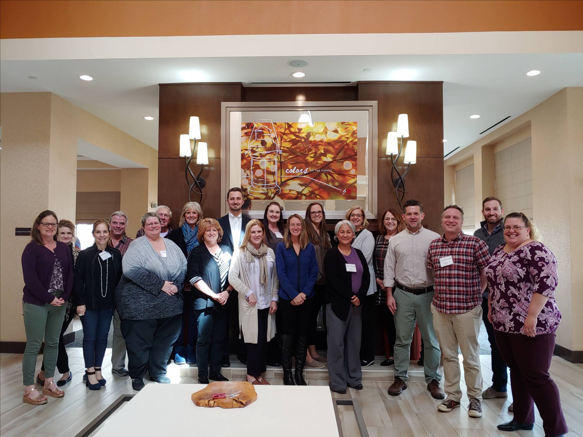
- July 2022 - Geography educators, senior scholars, and the three cohorts of the online Ph.D. program in geographic education came to San Marcos to participate in a one-day Leadership Academy focused around current issues in the world of geography education and the research and teaching responsibilities of the PhDs. Check out the briefing report here.
- June 2022 - Stacie Aguirre joins the Grosvenor Center family as the new manager of the Texas Alliance for Geographic Education. Stacie has a decade plus of experience in the geography classroom and we are excited to have her join and share with you her ideas.
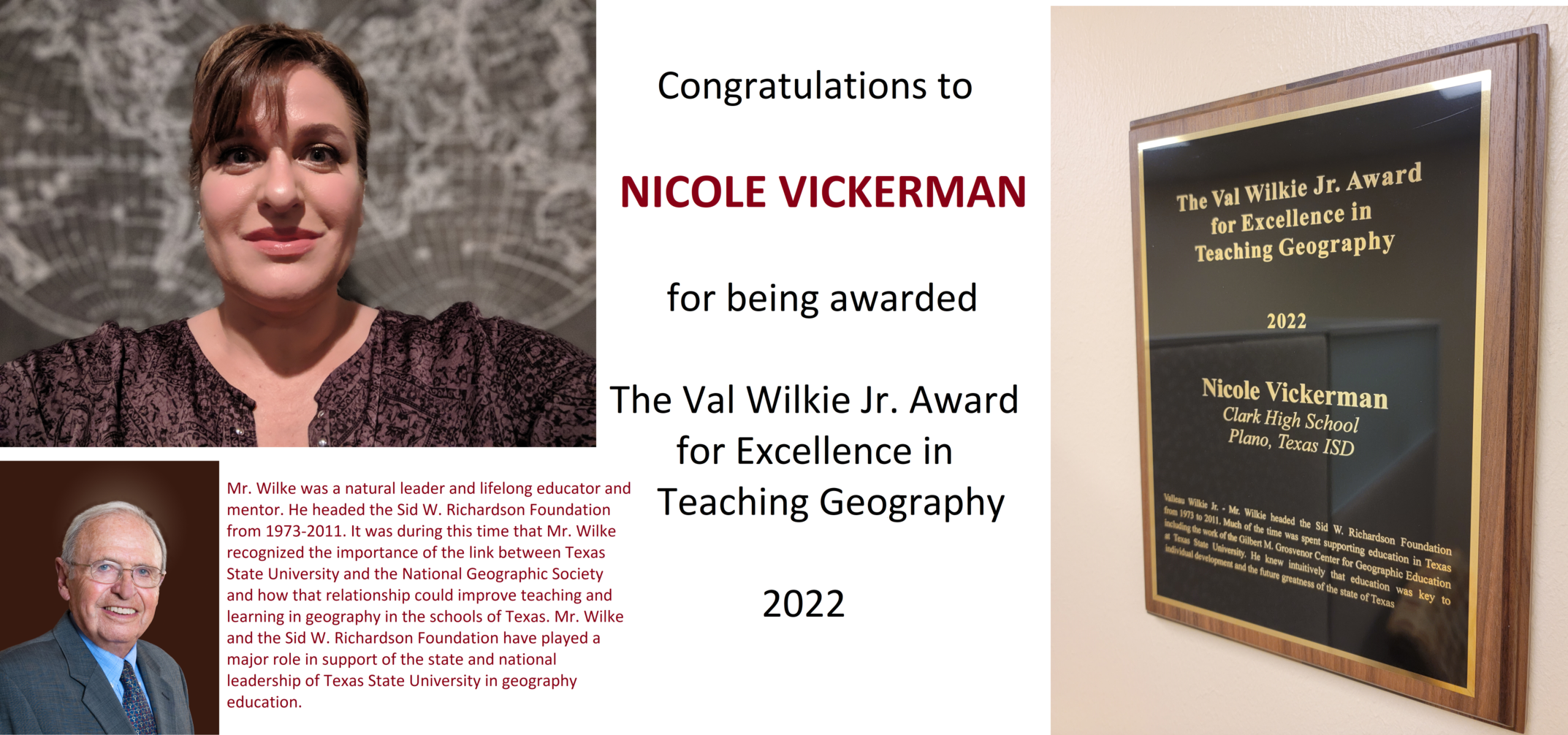
- May 2022 - In honor of Valleau Wilkie Jr.'s memory and his monetary contributions to the Grosvenor Center over the past decades through the Sid Richardson Foundation, President Trauth approved a proposal by Dr. Boehm to honor Val Wilkie by creating "The Val Wilkie Jr. Award for Excellence in Teaching Geography". This award includes a $500 honorarium and recognition through the Grosvenor Center. This inaugural recepient was Nicole Vickerman, a world geography teacher in Plano ISD.
- February 2022 - Drs. Boehm and Zadrozny presented Powerful Geography to social studies supervisors from across the state of Texas at the Texas Social Studies Supervisors Association Spring Conference in Austin.
- February 2022 - Drs. Boehm, Solem, and Zadrozny hosted two virtual panels during the American Association of Geographers Annual Conference. The first was on Powerful Geography where graduate assistance Bren Vander Weil provided an update of the work he has done with Dr. Solem on the Encoding Geography grant. The second panel hosted was on AP Human Geography and the commissioned work group and research activities. The four researchers, Yusik Choi, Dr. Michael Scholz, Dr. Carmen Brysch, and Dr. Jorn Seemann shared their research findings, which will appear in an upcoming issue of the Journal of Geography.
Past Events of 2021
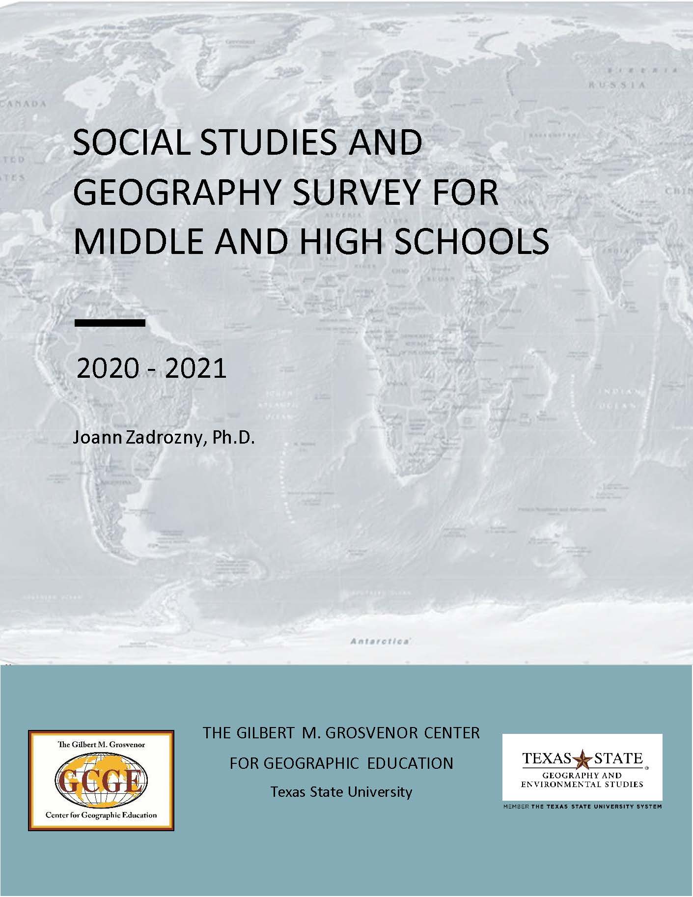
- The latest edition of the Social Studies and Geography Survey for Middle and High Schools (2020-2021) is now available.
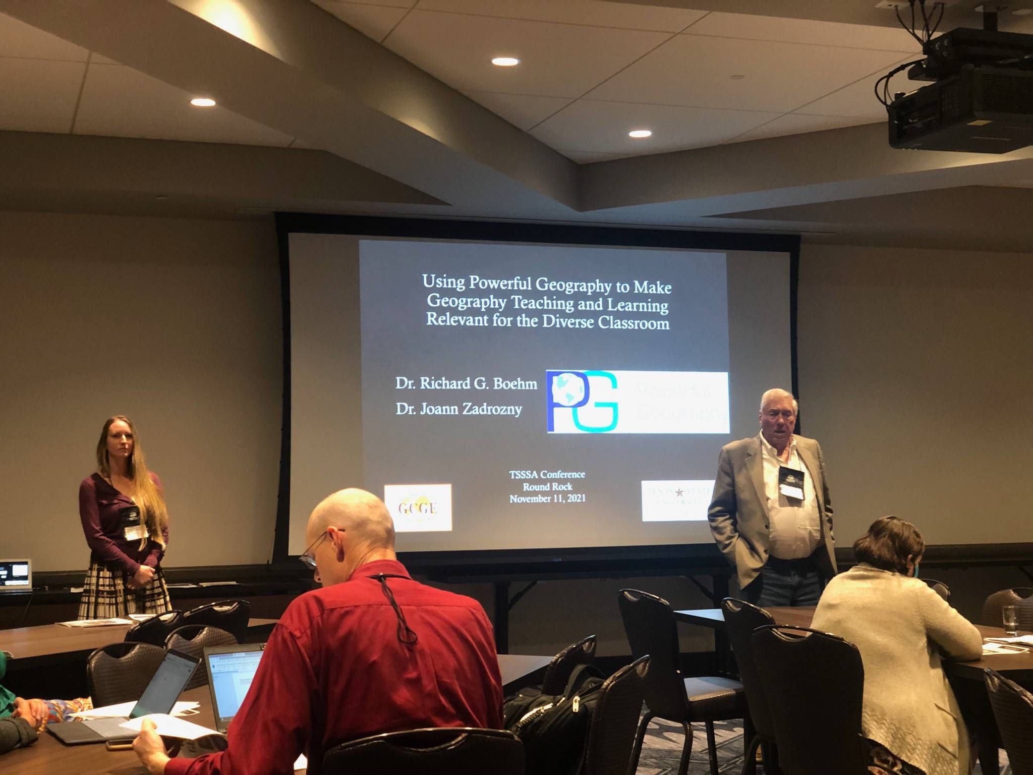
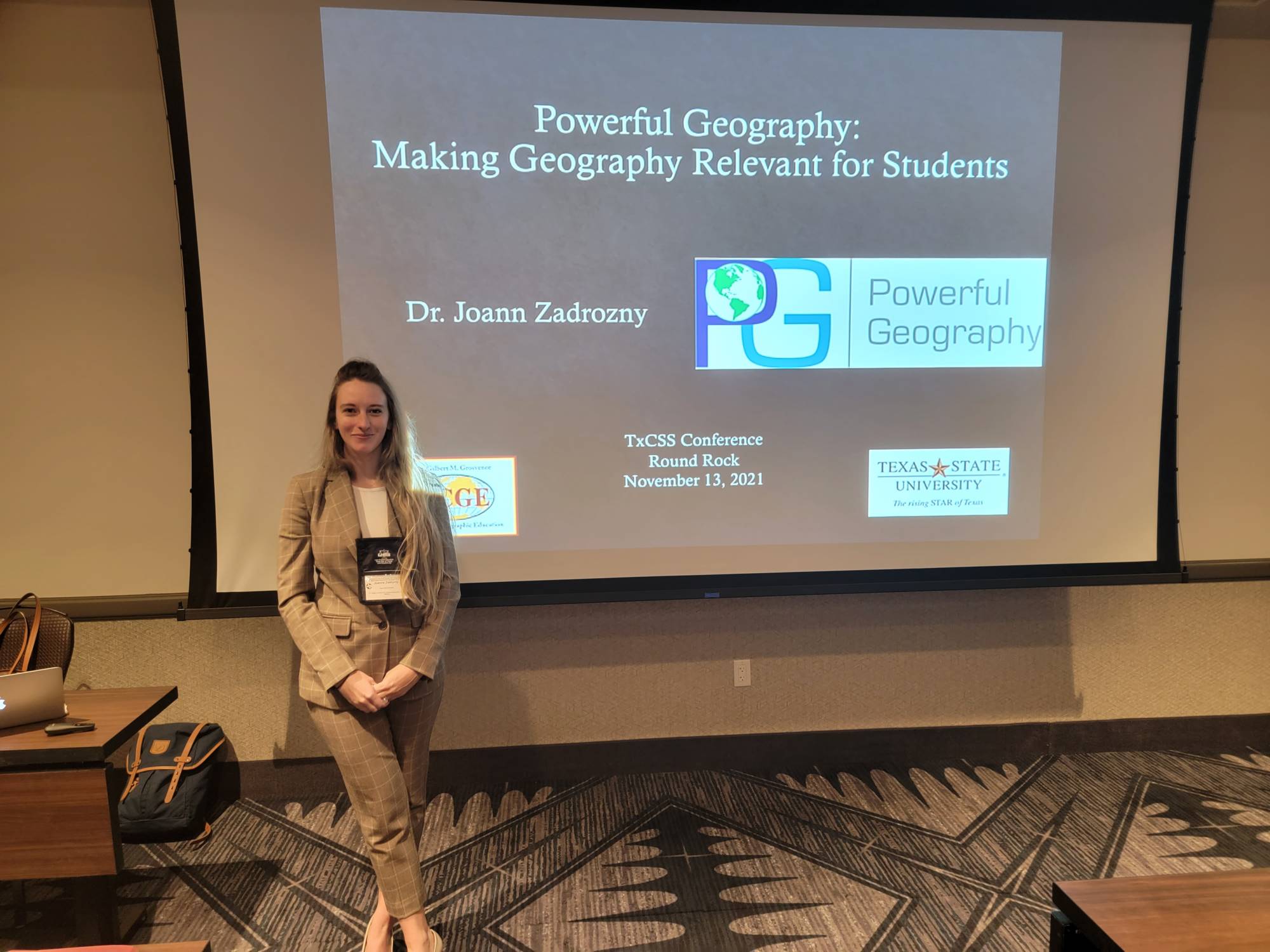
- The Texas Council for the Social Studies Conference in Round Rock, Texas was a success! It was great to see all the faces that we have gotten to know over Zoom. Drs. Boehm and Zadrozny had a packed room for the Texas Social Studies Supervisors Association (TSSSA) Conference during their talk on Powerful Geography. And the room was packed with Texas teachers for Dr. Zadrozny's presentation on Powerful Geography during the TxCSS conference. Many of you stopped by our booth for goodies and giveaways. It felt good to be back in person!
- Drs. Boehm, Solem, Zadrozny presented at the virtual American Association of Geographers Annual Conference. They hosted a panel session along with Dr. Stoltman to discuss the practical application of Powerful Geography in the classroom and why research is so important.
Past Events
Take a look back at the highlights from 2018 - 2020
PAST EVENTS of 2020
- Fall 2020 -- The Grosvenor Center presented at the TxCSS Conference and NCGE Conference on Powerful Geography and how to use it in the classroom.
- NEW GRANT ACTIVITY -- The National Science Foundation has awarded funding to Dr Michael Solem for two new projects involving the American Association of Geographers and Texas State University’s National Center for Research in Geography Education (NCRGE).
A $999,979 grant from the NSF Computer Science for All (CSforALL) program will expand the work of NCRGE’s Encoding Geography initiative. Encoding Geography is a research-practice partnership (RPP) working at the intersection of geography and computer science. With the new funding, the RPP will develop a curriculum pathway aimed at expanding opportunities for women and underrepresented minorities to pursue geocomputationally intensive college majors and careers. Texas State’s portion of the award is $199,123. Additional institutions in the RPP include the Sweetwater Union High School District, San Diego Mesa College, San Diego State University, and the University of California at Riverside.
In a separate $39,601 grant from the NSF GEO-PATHS program, Dr Solem will conduct the external evaluation of the Geoscience Exposure and Training in Texas (GET Texas) project led by Sam Houston State University. GET Texas will create a place-based geoscience learning ecosystem inclusive of high school, community college, early university students, their families, and geoscience faculty. The project will integrate informal institutions, including a world-class public natural science museum and YMCA camp, to foster these relationships and ease students into the application, employability, and local relevance of geoscience.
Both projects feature the Powerful Geography curriculum approach of aligning subject matter with workforce applications and student aspirations.
- July 2020 -- The Grosvenor Center continued its efforts in Powerful Geography within the state of Texas by hosting another workshop with teachers. The workshop culminated in two Powerful Geography end of the year lesson plans - one for high school and one for middle school. They can be found at the Powerful Geography website here.
- Summer 2020 -- Covid-19 didn't stop us from providing professional development to teachers across the state of Texas. We hosted virtual workshops with Education Service Centers 14 (Abilene) and 17 (Lubbock) on our new Project GO Module - Water: Too Much, Too Little.
PAST EVENTS of 2019
- November 2019 -- This year the National Council for Geographic Education Annual Conference was held in partnership with the annual conferences of the National Council for the Social Studies and the Texas Council for the Social Studies in Austin, TX. At the conference, the team presented on Powerful Geography. The Grosvenor Center also held a Roundtable Discussion on the Future of Geography Education. This discussion has been turned into a Report that can be found here.
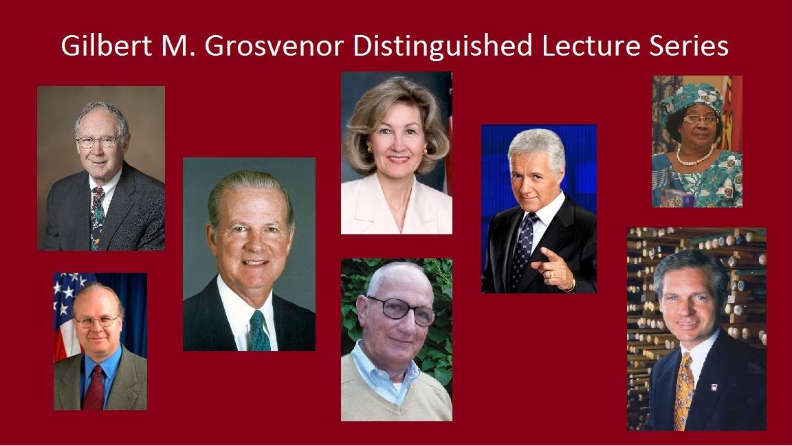
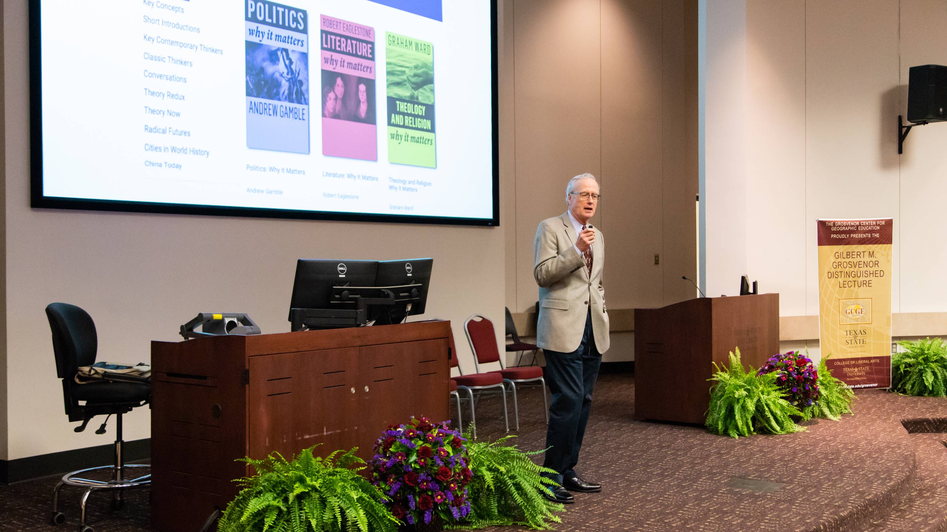
- September 2019 -- The Grosvenor Center hosted the 19th Annual Grosvenor Distinguished Lecture with esteemed lecturer Dr. Alexander Murphy. His talk was titled "Coping with a Fast-Changing World: Why Geography Matters".
- April 2019 -- The Annual Meeting for the American Association of Geographers was held in Washington, DC. During the meeting, Dr. Richard Boehm, Dr. Michael Solem, Joann Zadrozny and Thomas Larsen gave a panel on Powerful Geography. The NCRGE hosted a day of special-tracked sessions, including a panel discussion from the 3rd year RCN awardees.
- February 2019 -- The Grosvenor Center and National Center hosted a Powerful Geography workshop with social studies consultants and coordinators from across the state of Texas. The full day workshop was spent brainstorming and collaborating on what Powerful Geography looks like in the classroom and the best method of dissemination. This was one step closer to getting Powerful Geography out into the classroom.
PAST EVENTS of 2018
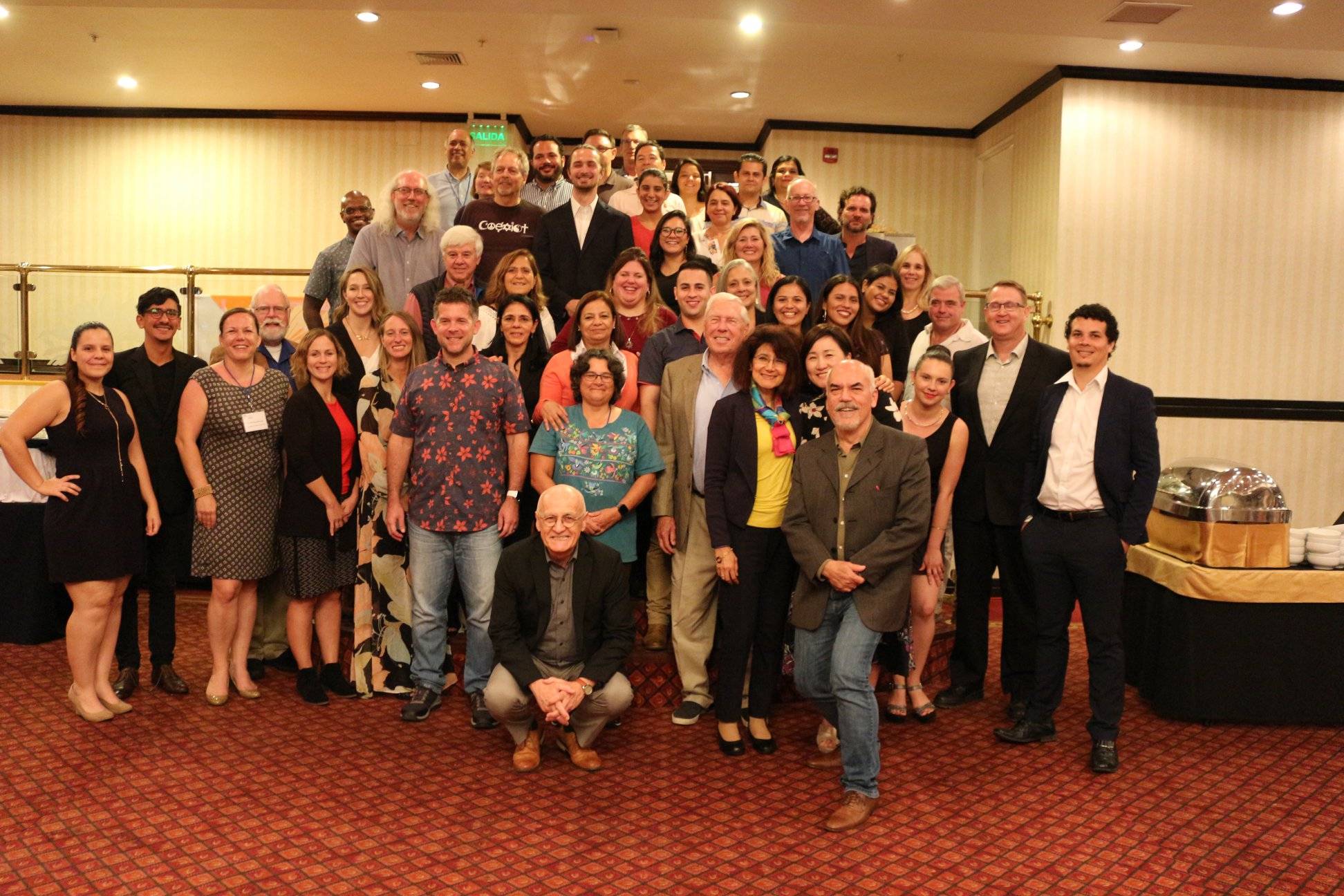
- November 1-4, 2018 -- The Grosvenor Center and National Center hosted a Powerful Geography Conference in San Jose, Costa Rica. To read about the conference, see photos, and watch videos click here.
- August 2018 -- Joann Zadrozny and Dr. Michael Solem traveled to Quebec City, Quebec, Canada for the National Council for Geographic Education Annual Conference. There they presented on Powerful Geography.
- April 11-15, 2018 -- The Annual Meeting for the American Association of Geographers was held in New Orleans, LA. During the meeting, Dr. Richard Boehm, Dr. Michael Solem, Joann Zadrozny and Thomas Larsen gave a panel on Powerful Geography. The NCRGE hosted a day of special-tracked sessions, including a panel discussion from the 2nd year RCN awardees and two keynote addresses by Dr. Nora Newcombe and Dr. David Lambert.
Past Events
Take a look back at the highlights from 2015 - 2017
PAST EVENTS of 2017
- November 29, 2017 -- Gary Knell, the President and CEO of National Geographic Society gave the 18th Annual Grosvenor Distinguished Lecture to a packed house of students, professors, and administrators. Mr. Knell talk was about a new initiative of the Society called "Generation Geography".
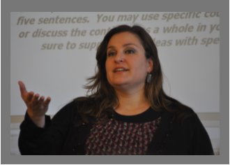
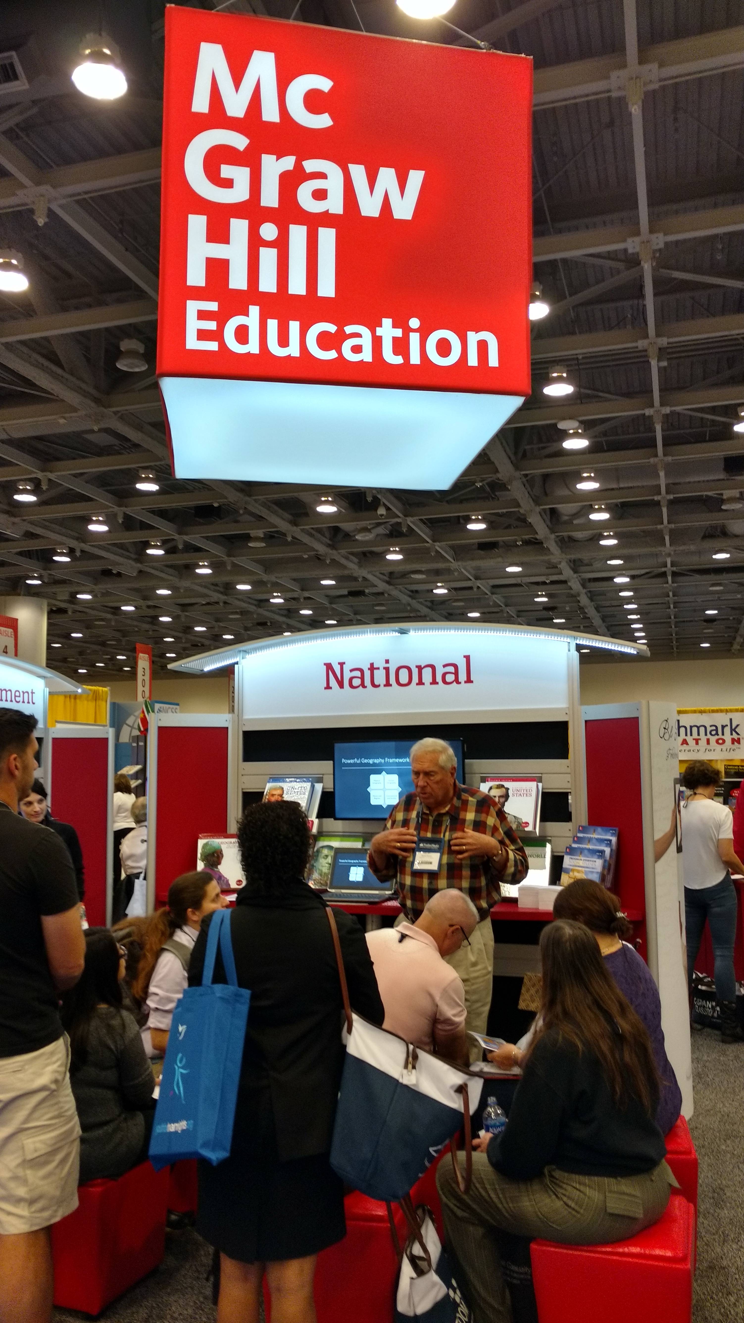
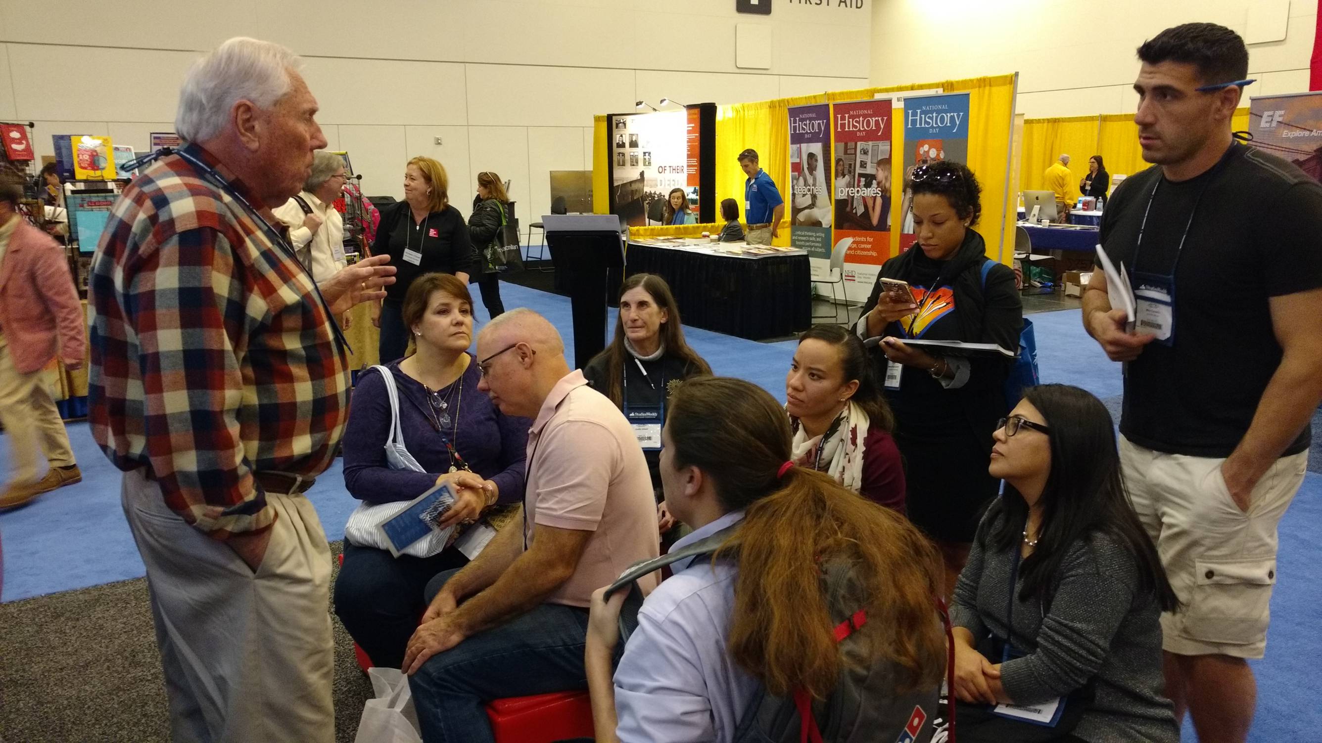
- November 2017 - At the Annual Meeting of the National Council for the Social Studies, Joann Zadrozny and Drs. Boehm and Solem presented on Project Geography Online. Dr. Boehm even gave a special talk about Powerful Geography at the McGraw-Hill Education Booth to a group of teachers (pictured below).
- July 2017 - The Grosvenor Center staff traveled to Albuquerque, New Mexico for the Annual Meeting of the National Council of Geographic Education to present on current research endeavors. At the meeting, NCRGE co-directors, Dr. Boehm and Solem held a plenary session to discuss Powerful Geography.
- June 2017 -- The Grosvenor Center hosted a week of professional development workshops as a part of our Project GO, a grant funded by Texas Higher Education Coordinating Board. During the week, six STAR teachers discussed teaching strategies on four various content modules. These modules will be produced into four new STARS professional development videos.
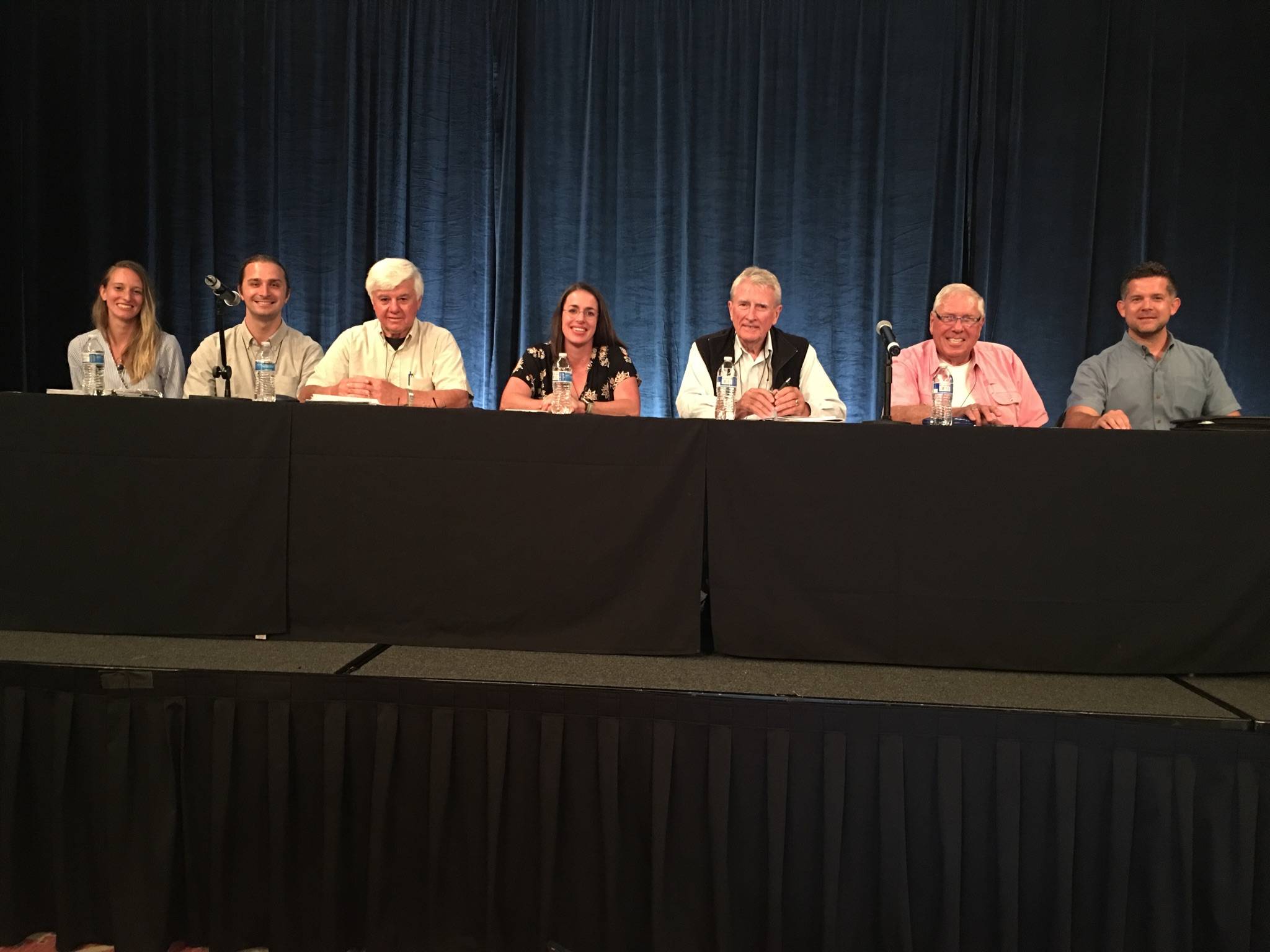
- April 2017-- The Grosvenor Center staff traveled to Boston, MA to attend the Annual Conference of the AAG. At the conference, NCRGE hosted its 2nd Annual Transformative Research in Geography Education Symposium, with a full day of sessions. Pictured below are the 1st year RCN awardees.
- March 2017 -- As of March 1st, Dr. Michael Solem has joined the faculty of the Department of Geography at Texas State University as Research Professor and Director of Research for the Gilbert M. Grosvenor Center for Geographic Education. He will continue to serve as Co-Director of the National Center for Research in Geography Education.
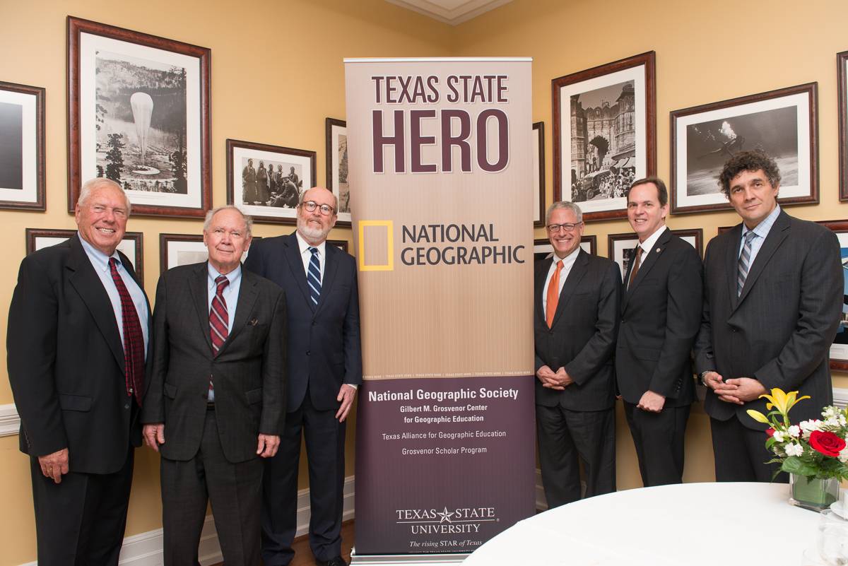
- February 2017 -- At a special luncheon hosted in Washington D.C. at the National Geographic Society headquarters, Texas State University honored the National Geographic Society as Hero's of the University for their support over the last three decades. To accept the honor was current President and CEO, Gary Knell. Also there from National Geographic Society was past President and CEO Gilbert M. Grosvenor. Representing Texas State was Dr. Eugene Bourgeois, Dr. Michael Hennessey, Dr. Barbara Breier, Dr. Alberto Giordano, and Dr. Richard G. Boehm.
PAST EVENTS of 2016
- October 2016-- Graduate research assistant, Joanna Zadrozny was a presenter at the annual Groundwater Festival at the Meadows Center for Water and the Environment. Over 470 4th graders from San Marcos schools were in attendance to learn about water.
- October 2016 -- Joanna Zadrozny presented at the annual meeting for the Texas Council for the Social Studies held in Corpus Christi.
- September 2016 -- Drs. Muniz-Solari, Solem and Boehm (editors) published "Learning Progressions in Geography Education: International Perspectives."
- July 2016 -- Grosvenor Center staff attended the National Council for Geography Education annual meeting in Tampa, Florida.
- May 2016 -- The Grosvenor Center hosted an Early Career Conference in Lafayette, Louisiana. Early Career Scholars from across the U.S. joined us, in addition to Drs. Audrey Mohan, Niem Huynh and Michael Solem, for a three-day workshop focused on developing a geospatial thinking test.
- April 2016 -- The Grosvenor Center held the 17th Annual Grosvenor Distinguished Lecture. This year's lecturer was Dr. Doug Richardson, the Executive Director of the American Association of Geographers.
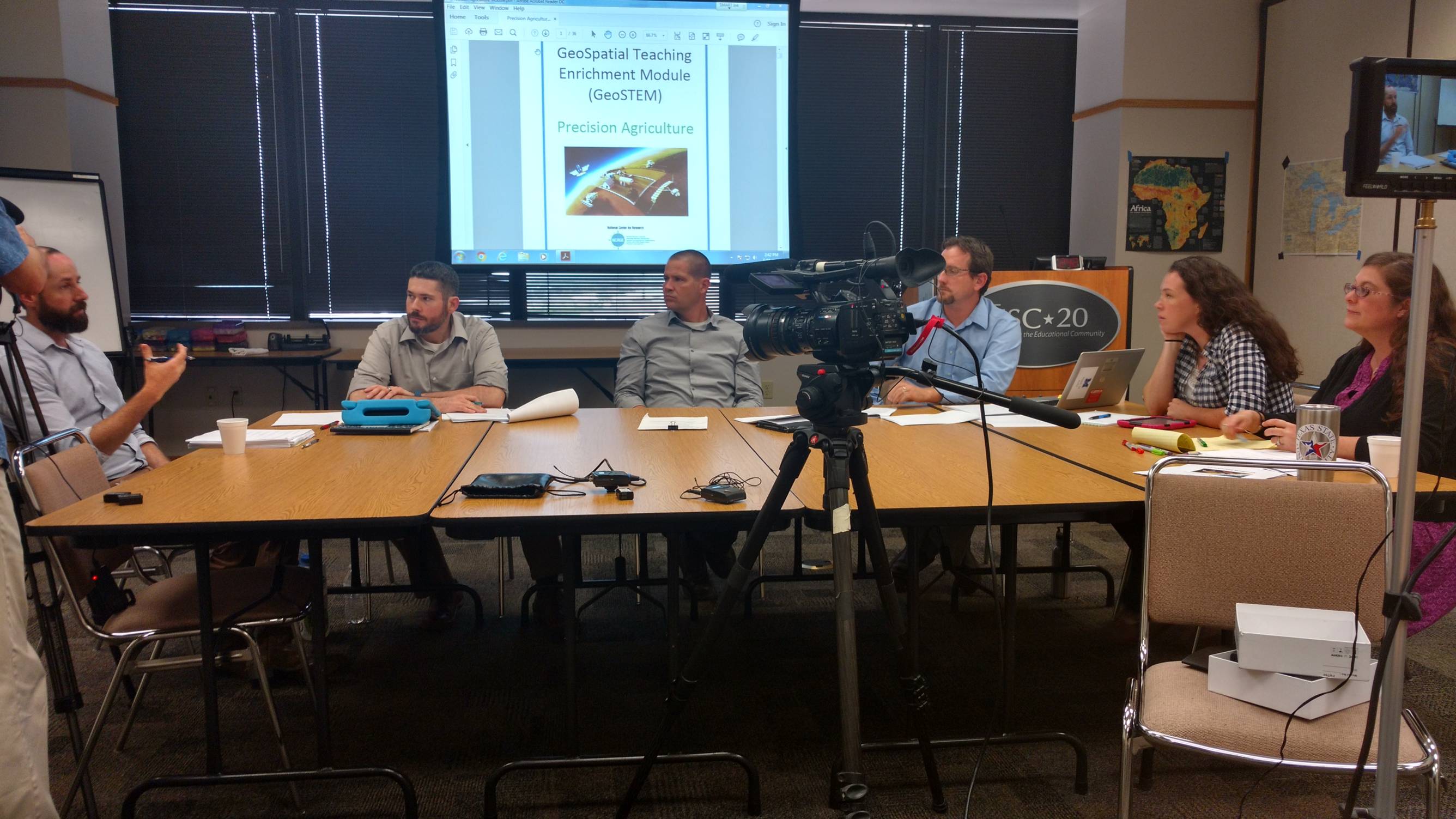
- March 2016 -- The Grosvenor Center staff attended the Annual AAG Meeting in San Francisco, California. During the conference, Dr. Boehm, Dr. Solem and Joanna Zadrozny presented on our research in GeoSTEM, Geocapabilities and GeoProgressions. Additionally on Saturday, NCRGE hosted its first RCN symposium to kick off the award of the RCN NSF-funded network.
PAST EVENTS of 2015
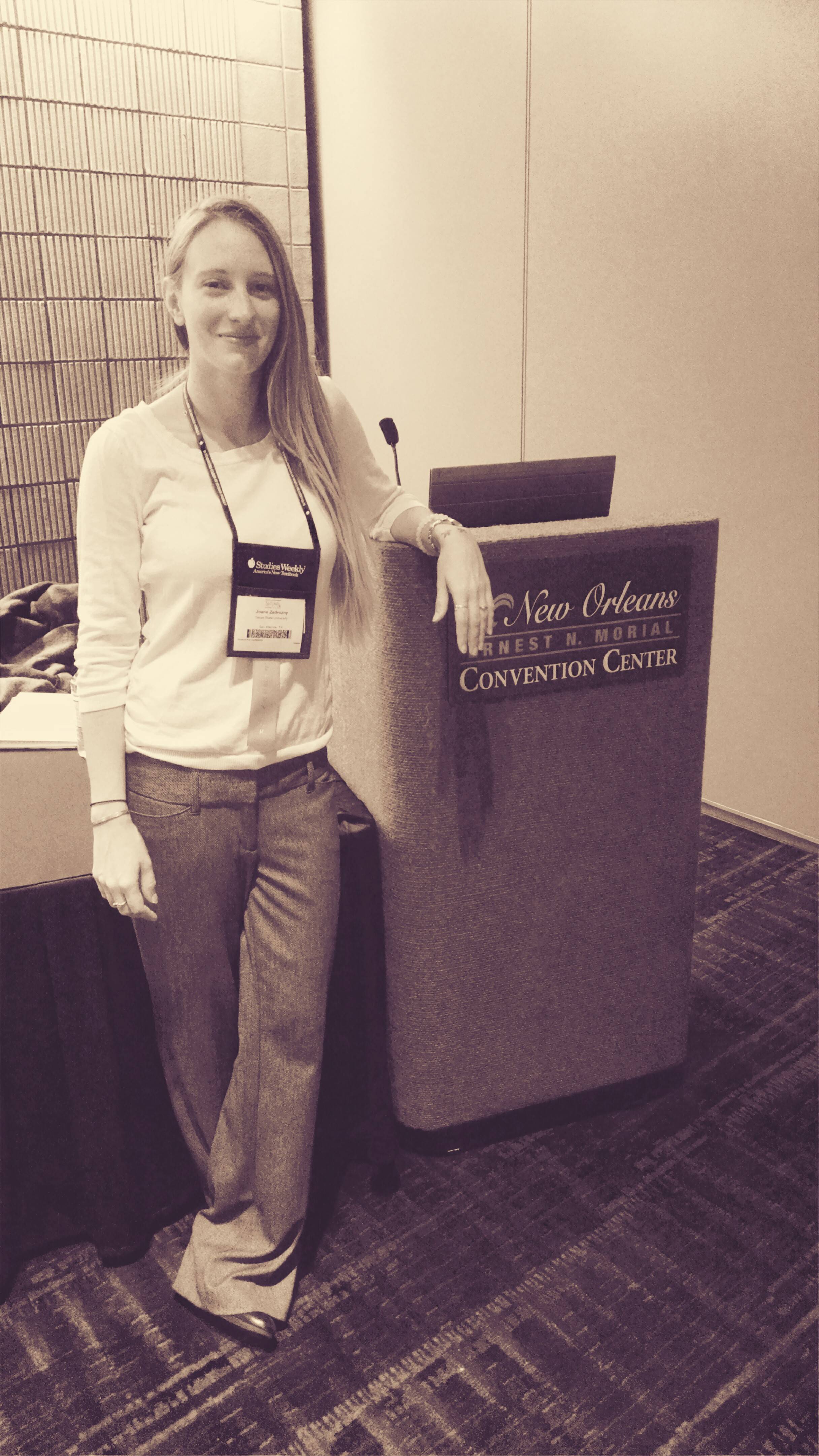
October 2015 -- Dr. Richard G. Boehm and graduate assistant, Joanna Zadrozny, hosted a workshop at the 95th National Council for the Social Studies Annual Conference in New Orleans, Louisiana. The workshop was an extension of their current NSF grant -- RAPID research.
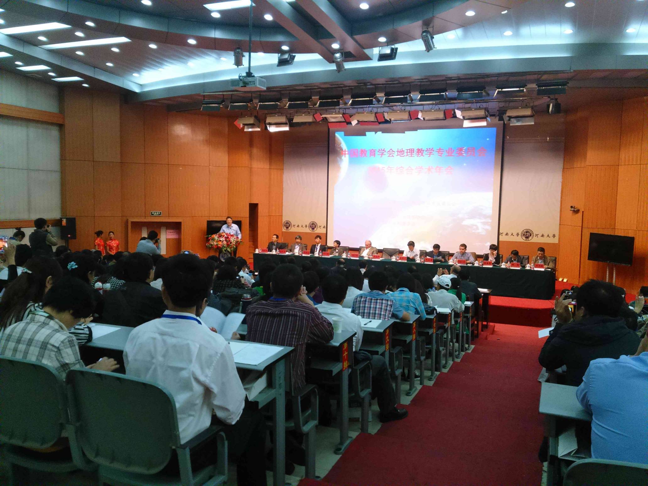
October 2015 -- To continue our partnership with East China Normal University, Dr. Richard Boehm traveled to China to give the keynote speech at the Comprehensive Academic Annual Conference in Geography Education 2015 at Henan University. While there Dr. Michael Solem, on behalf of the National Center, signed into effect another MOU with Zhejiang Normal University.
- September 2015 -- In an effort to increase quality geography education professional development, Dr. Richard Boehm and graduate assistant, Joanna Zadrozny, traveled to Education Service Center 14 in Abilene to host a workshop about Geography: Teaching with the Stars.
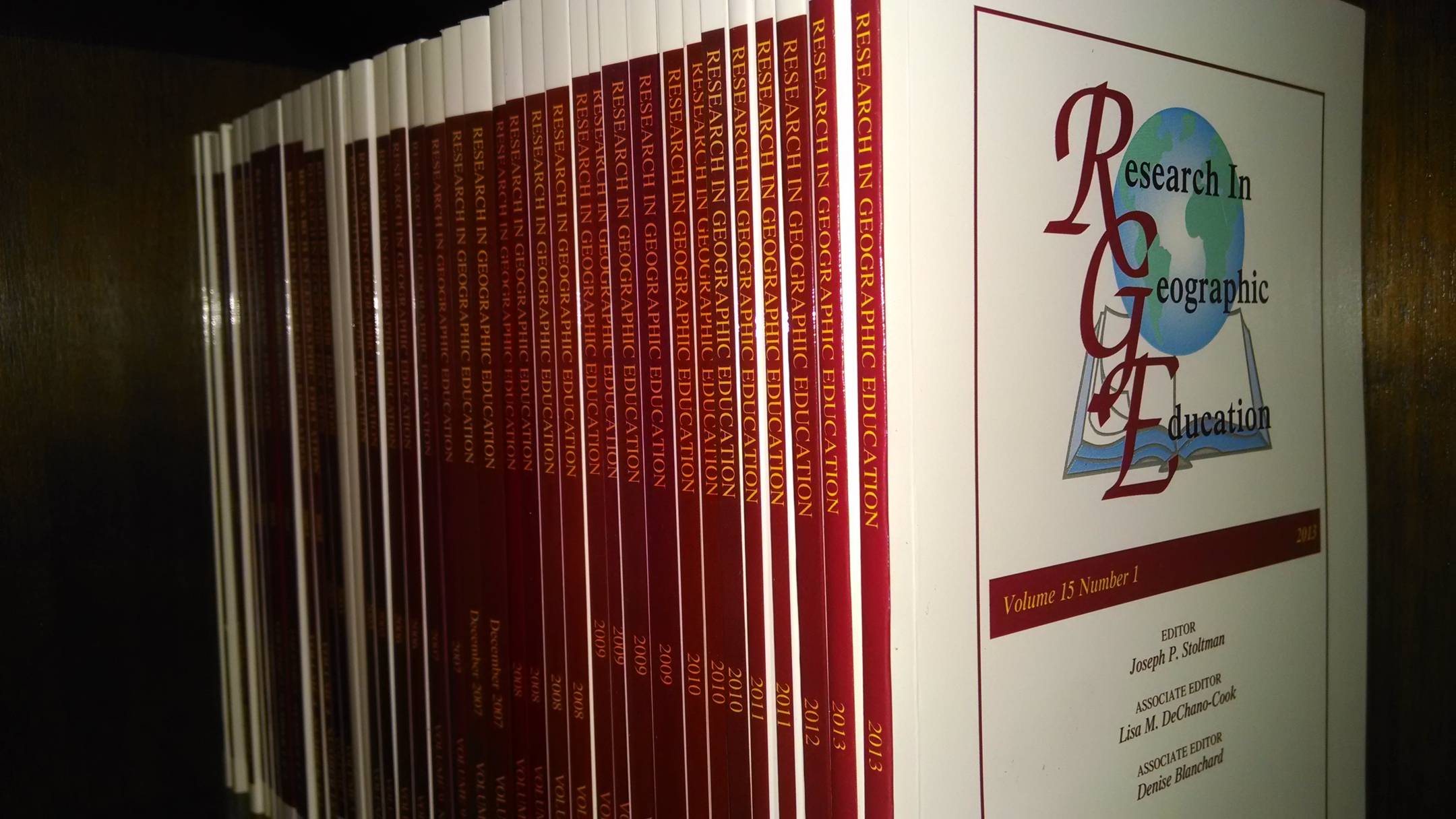
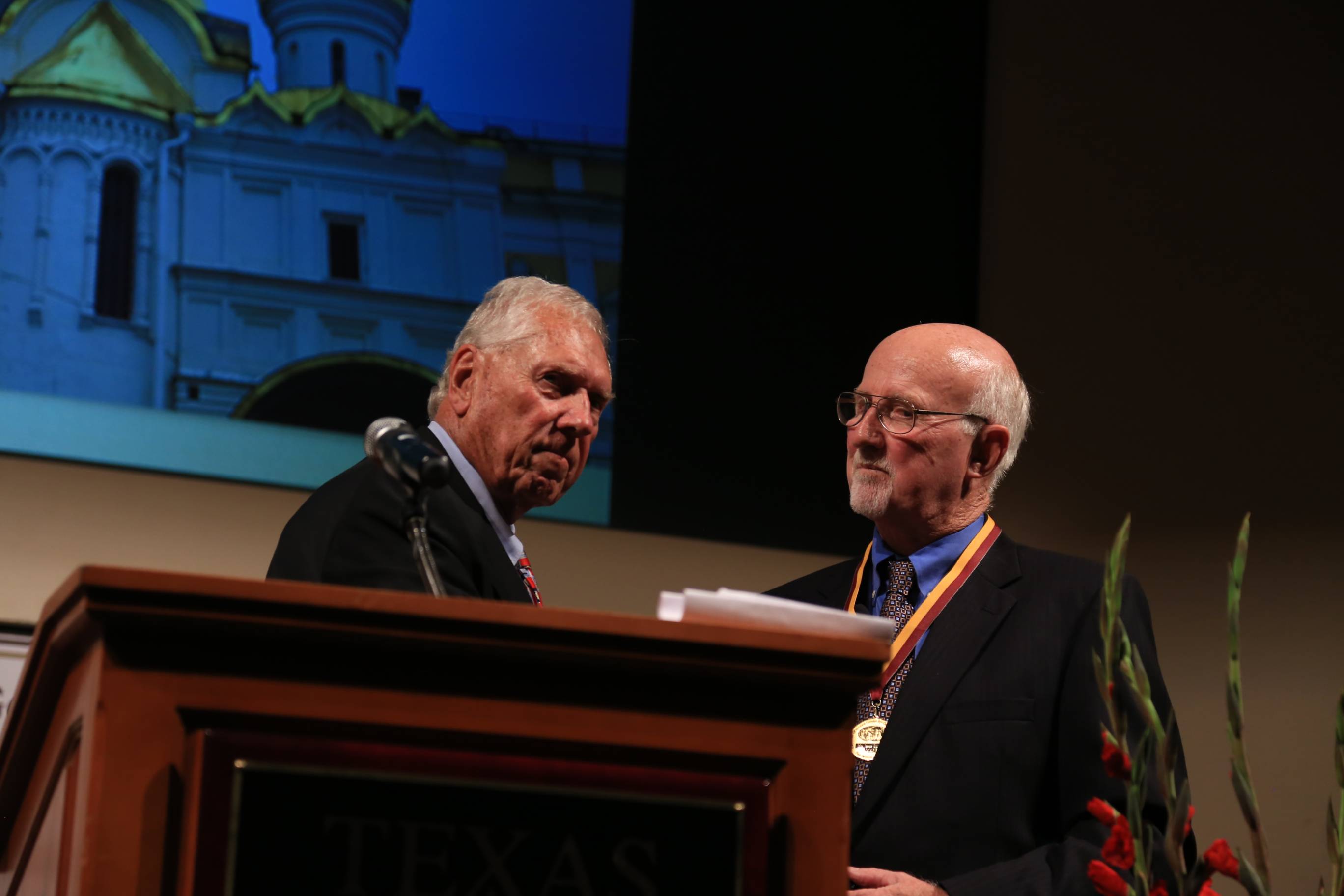
- July 2015 -- At the 100th Annual Conference of the National Council for Geography Education in Washington, D.C., ten of the 14 George J. Miller award winners who contributed to the latest volume of Research in Geographic Education, commemorating the anniversary, gave a panel discussion about what they wrote.
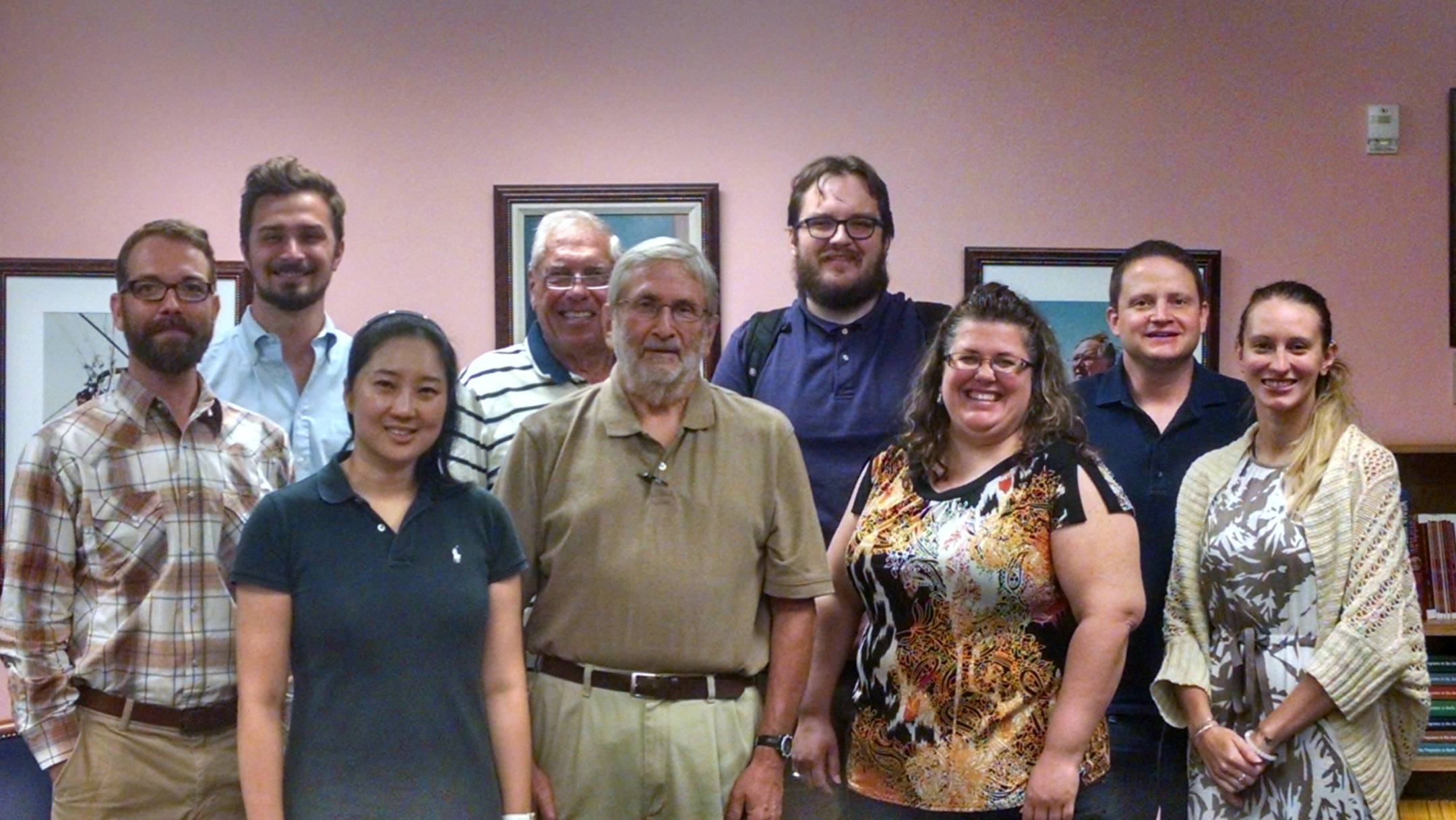
- June 2015 -- The National Center and Grosvenor Center hosted an Early Career workshop June 24-25 for a six early careers in geography education. They were involved in an extension project of a current NSF research grant as to how geospatial content and skills can be integrated into pre-service teacher training courses in social studies classes. For two days, they worked intensively adding content, technology and pedagogic enrichment to four units.
- May 2015 -- The Grosvenor Center and National Center held a strategy meeting at The Meadows Center for Water and the Environment with various STEM researchers and partners from Texas State to develop a large-scale teaching and learning program targeting STEM disciplines. The workshop brought together researchers from science education, math education, technology education, engineering education, & geography education.
- April 2015 -- The Grosvenor Center for Geographic Education hosted its 16th Annual Grosvenor Distinguished Lecture this spring. The lecturer was Mr. Jesse Luxton.
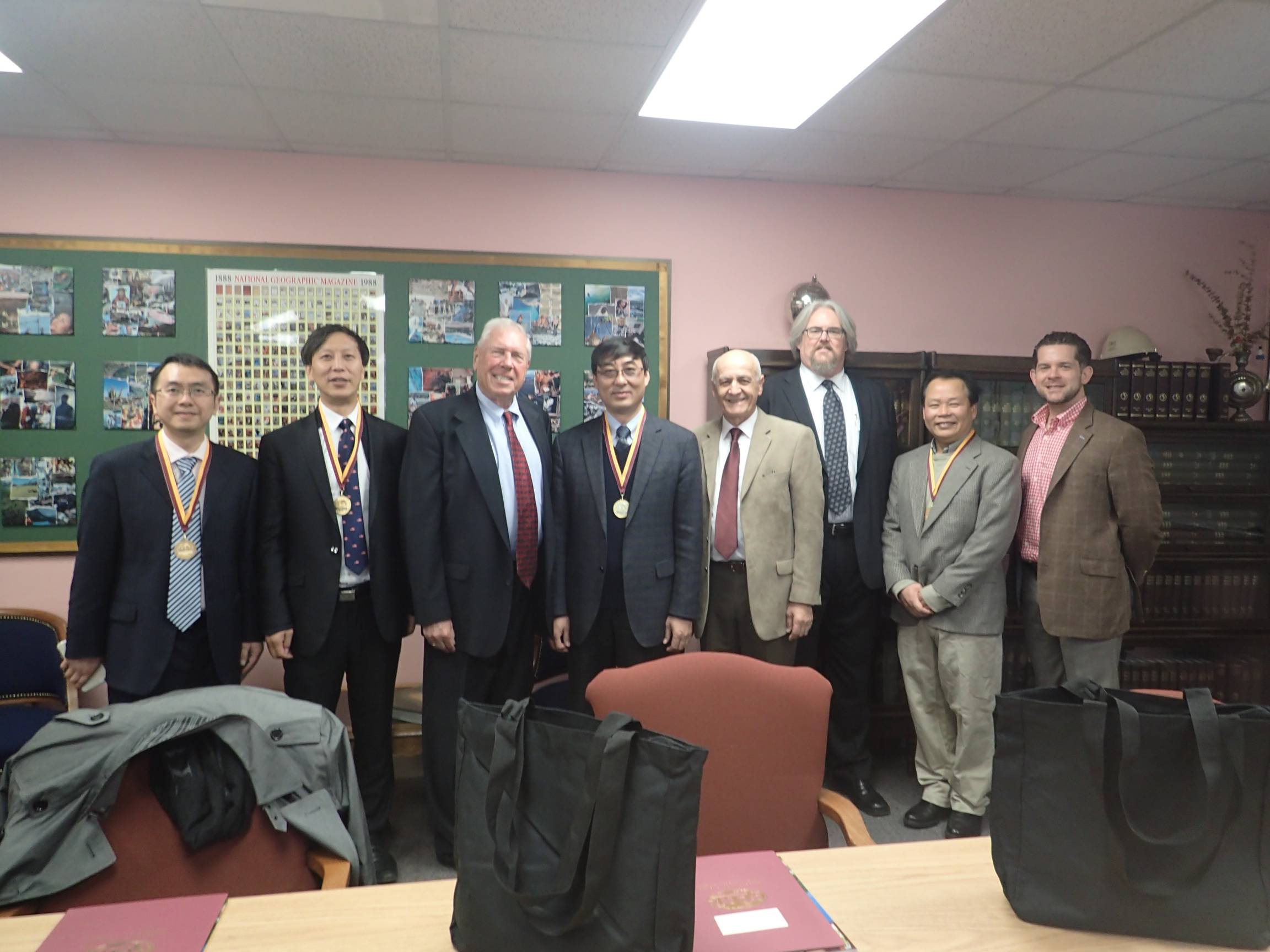
- February 2015 -- The National Center for Research in Geography Education along with the Department of Geography hosted four delegates from East China Normal University on February 2 to talk about partnerships and future collaboration projects between the two universities be formally signing a Memorandum of Understanding (MOU).
- January 2015 -- The National Center for Research in Geography Education hosted a two day team meeting with out-of-state NGS Alliance Coordinators and university researchers to discuss their role in two of the Center's current NSF grant projects-- GeoProgressions and the DRK-12 RAPID grant.