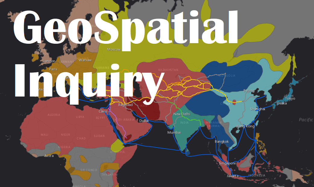
GeoSpatial Inquiry

June 17-18, 8:30 am - 4 pm
San Marcos, TX
For beginner and experienced ArcGIS Online users.
Contact mhutchins@txstate.edu with any questions.
Maps tell stories; they explain, illuminate, and inspire. Digital maps are used across the world to map and analyze information, from simple neighborhood maps to the most complex regional disaster management models. Elementary, middle, and high school students in all subject areas benefit from using interactive maps to gather, analyze, and interpret data, gain insight into our world, and make decisions based on data and evidence that can be creatively demonstrated using their own maps and stories.
This workshop begins with a brief understanding of the importance of geography, and then participants can choose between introductory sessions and specialized sessions using Esri's ArcGIS Online's digital mapping. Learn more about Esri for Schools.
Sessions may include: Introduction to ArcGIS Online, Intro to GeoInquiries, Building Data & Using Survey 123, Building Inquiry Lessons, Intro to Story Maps and more. All resources are free to K-12 schools. After registering for the workshop, you will receive a link to register for specific sessions.
This workshop is hands-on, with lots of one-on-one assistance. Bring your ideas, enthusiasm, and if you have a project that you’re working on, bring it too!
- Two session tracks are offered: Introductory for people new to ArcGIS Online and Specialist for those with some experience. Session descriptions are in the flyer. Participants may choose sessions in both tracks.
- All disciplines are welcome, but materials will focus on science and social studies. Instructional materials are for grades 4-12.
- After the workshop, participants are eligible for a $100 stipend upon successful submission of a completed activity and digital map. Submitted by June 30.
- 12 hours of CPE available.
- Registration Fee: $25.
Stipend Information
Coming soon.